History Hike: A.P. Hill’s March to Antietam, Part 1
I sometimes have crazy ideas like combining my love for hiking and the outdoors with history. I love walking the route of famous marches and battle action. So I convinced some friends (at least they’re friends for now) to join me to hike something I’ve always wanted to do: A.P. Hill’s march from Harpers Ferry to Antietam, where the division arrived just in the nick of time to save Lee’s army.
Hill’s division, left at Harpers’ Ferry when the rest of Jackson’s troops marched to Sharpsburg, stayed behind to parole Union prisoners and oversee the distribution of captured equipment. Notified by Lee on the morning of September 17 that they were urgently needed, he quickly got his men on the road. They marched about fifteen miles, crossed the Potomac, and arrived to slam into the Union Ninth Corps, stopping the last Federal attack of the day.
Joined by Richard Lewis, Drew Gruber, Jim Broomall, Kevin Pawlak, and Rich Condon, we met Saturday afternoon to scout the route and enjoy a few adult beverages. Ok, maybe more than a few. At our Air BNB, which served as the History Hikers headquarters in Harpers Ferry, we plotted the route and logistics.
We drove the route, then explored both sides of our biggest potential challenge, and highlight: the river crossing at Pack Horse Ford. This is where Lee’s entire army crossed the Potomac, and A.P. Hill’s forces splashed through on their way to the battle. Checking maps and the water, we found what we suspected was the ford, and explored our access to it from both sides.
The History Hikers experienced their first casualties here, when Drew stumbled into a bee’s nest. Stung multiple times, he was fortunately ok, despite soreness and swelling. The rest of the trip we all asked about his thighs.
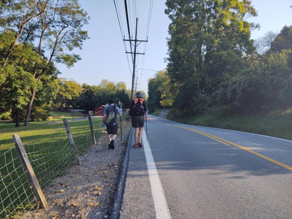
Early on Sunday morning we assembled on Bolivar Heights, where Hill’s division left from. Moving out at 8:30 a.m., we took the same roads north, now paved. Hill’s force left at 7:30 am, but with no Daylight Savings Time, we were right on schedule. In his report Hill states that his troops marched 17 miles, while other accounts say 15. Estimating the distance using online maps we thought it would be about 15.
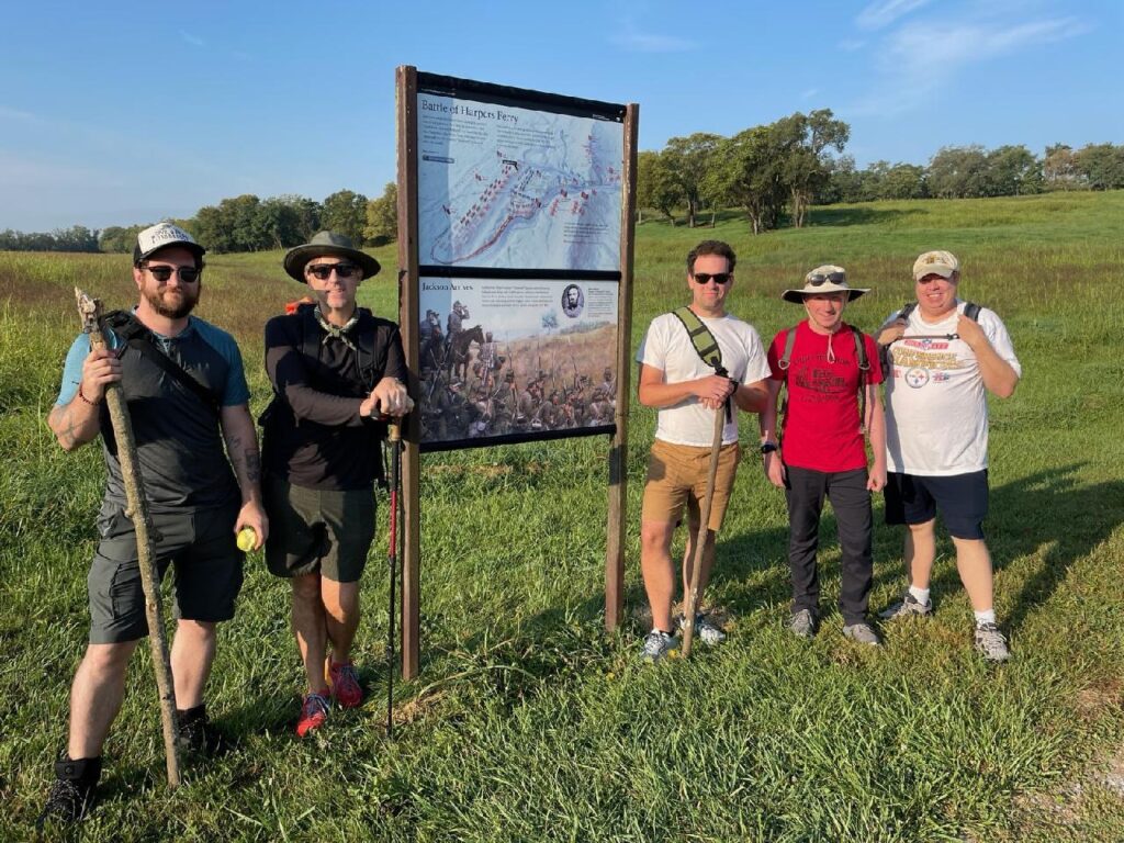
Rather than carrying rifles and cartridge boxes, our intrepid group had no gear, and wore hiking shoes rather than brogans. Rich had the good sense to pack some whiskey. The original column would have stretched for over a mile on these country roads: the head would be moving along for some time before the tail left Harpers Ferry.
The first hour we made good time. Aside from historical accuracy, another reason to leave early in the morning was to encounter less traffic on the road. Some vehicles we met were good about driving wide around us. Others were not. Richard was in the chase car, meeting us at certain points with water and supplies. At times his car shieled us on blind curves. Blasting the soundtrack from ‘Gettysburg,’ it was inspiring. Richard provided crucial logistical support, if only A.P. Hill had such assistance.
The first three miles went smoothly and we met Richard for a short water and ration break. By then he’d already nicknamed us the ‘Roadkill Five.’ I had no illusions of being entirely historically accurate, but for myself, I was determined to give a nod to those men who marched under difficult conditions. I only carried what they might have had for rations: water, bread, a piece of cheese, an apple, and some beef jerky (ok, some Gatorade too).
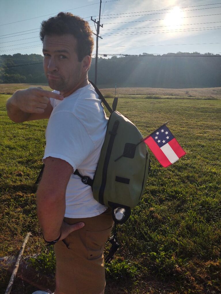
By hour number two we’d found our rhythm and were moving right along. We estimated we were doing close to 3 miles an hour, a good pace and the one I thought would serve us well to finish by 1:30 p.m. (After all, the Steelers were playing that afternoon and I hated to miss them beating Denver).
Conversations were inspiring among our group, keeping us motivated and on track. The topics shifted between our thoughts about Antietam and Hill’s march, how Civil War soldiers endured such challenges (after all, they marched, crossed a river, and went right into battle), how did they do it with their wool uniforms and gear, and what about chafing? Enough of us had done living history to have some good thoughts on the matters. Conversation drifted to other topics; our various research projects, battlefield preservation, ECW projects, and more.
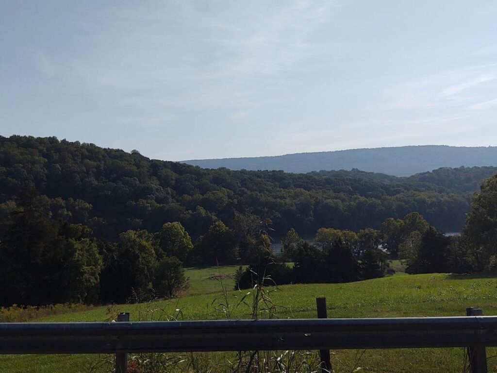
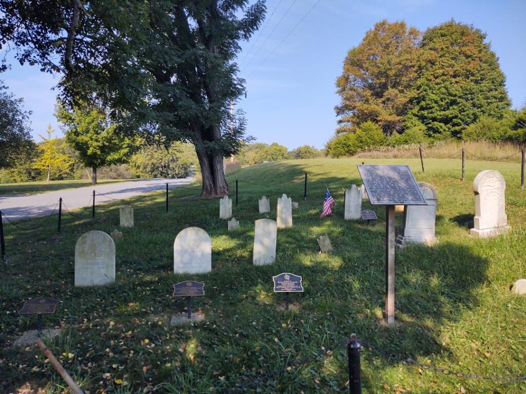
The route was quite hilly at times, giving us an appreciation for those who trudged uphill with a rifle and gear. There were occasional great views of the Potomac below us. We passed the historic Moeller Cemtery, where early settlers and Revolutionary veterans rest. Another pause at the Moeller Crossroads allowed us to reflect on Hill’s troops passing this very spot, unsure of their destination. But we knew that by now they could hear gunfire in the distance. Did that cause dread, or motivate them to go faster and enter the fray, to get it over with? We all enjoyed a whiskey ration at the crossroads, then it was back into formation.
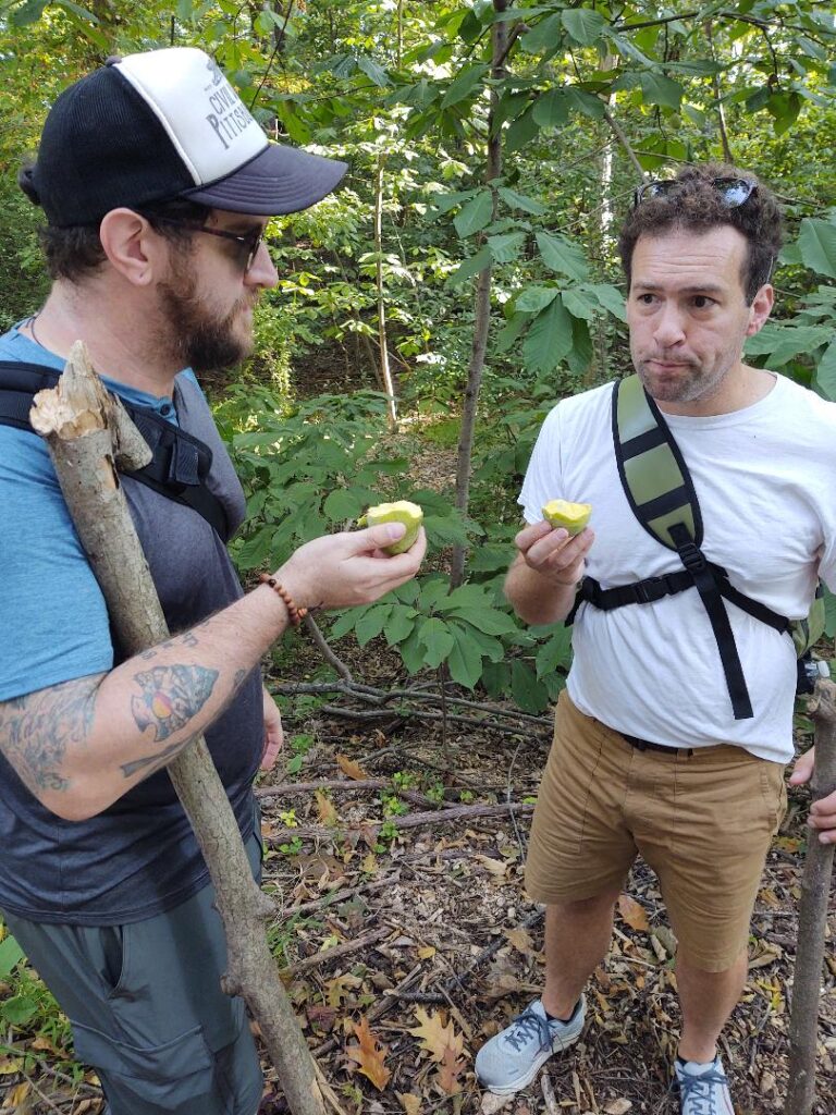
Drew is a self-described plant nerd (hey, we all have our obsessions), and talked about paw paws as we went. Soon enough we were seeing large areas of paw paws. At one point he paused and grabbed some, testing them for ripeness. He and Rich shared some and enjoyed the sample. Hour number three was ahead, with hills and the river crossing. Will we make it? Stay tuned for part 2!
Half a limp
Half a limp
Half a limp onward!
Forward the Geek Brigade!
Oh what a sight they made
Drinking their Gatorade
That Middle-Aged Parade
Noble Five, not Hundreds!
Pawpaws, hiking and history. Yes, please. You dudes rock!
My feet hurt just reading about this. After 5-6 miles I’m afraid I would have fallen out and waited to be arrested by the provost guard.
Glen, in good company you can do anything!
The company was ok….
I love a good pawpaw.
Bert: Excellent stuff. Reminds me of a decision I made with a friend several years ago. We were packing into the northern Wind River Mountains on a climbing trip and one of our objectives was Island Lake/Fremont Peak. For “entertainment purposes” we decided to pack in following as closely as possible the route Fremont, Preuss et al appear to have used in 1842, even where it diverges from the modern trail system. Let’s just say it was eye opening. Those guys may not have been carrying packs loaded with climbing gear, etc but they were lugging other stuff in for mapping. As an aside, Fremont probably climbed what today is considered a 3rd class route to reach the summit of the peak bearing his name (13,745 feet). Hard men ….
Looking forward to Part 2 – and seeing if you lose any “stragglers” … LOL
So what brand of ‘whiskey’ was involved?
This sounds like a great time, wish I had been there for it!
The Chinese Communist Long March covered 6000 miles in 368 days though they only marched on 268 of those days. Might want to try that one next.
Seriously, this outing was a worthy endeavor.