The Freeman Markers

If you have been to any of the battlefields around Richmond, Virginia or if you have ever just driven the non-interstate roads around the Virginia capital, you have seen a “Freeman Marker.”
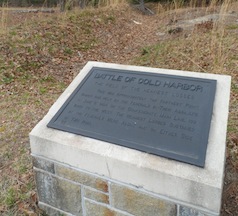
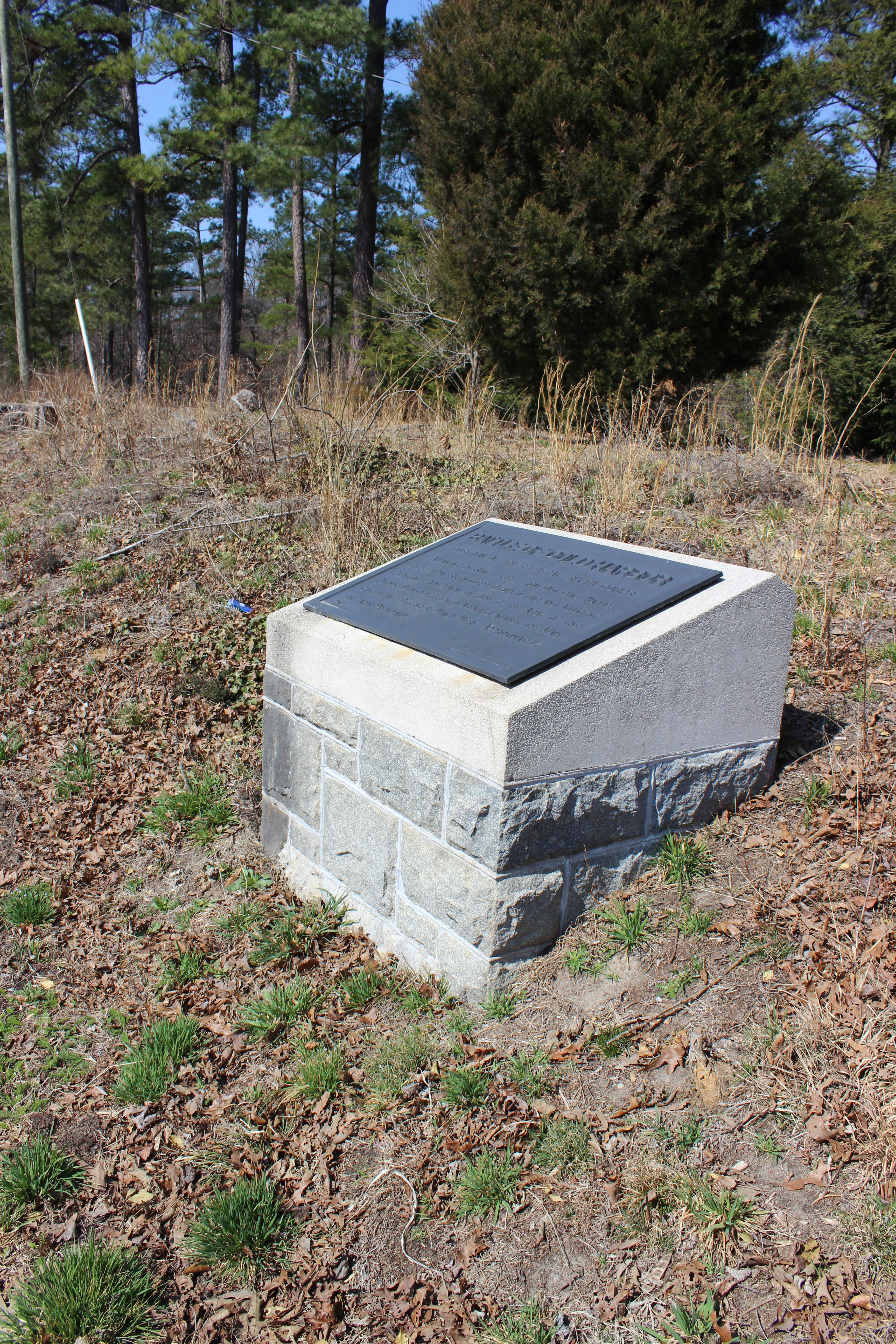
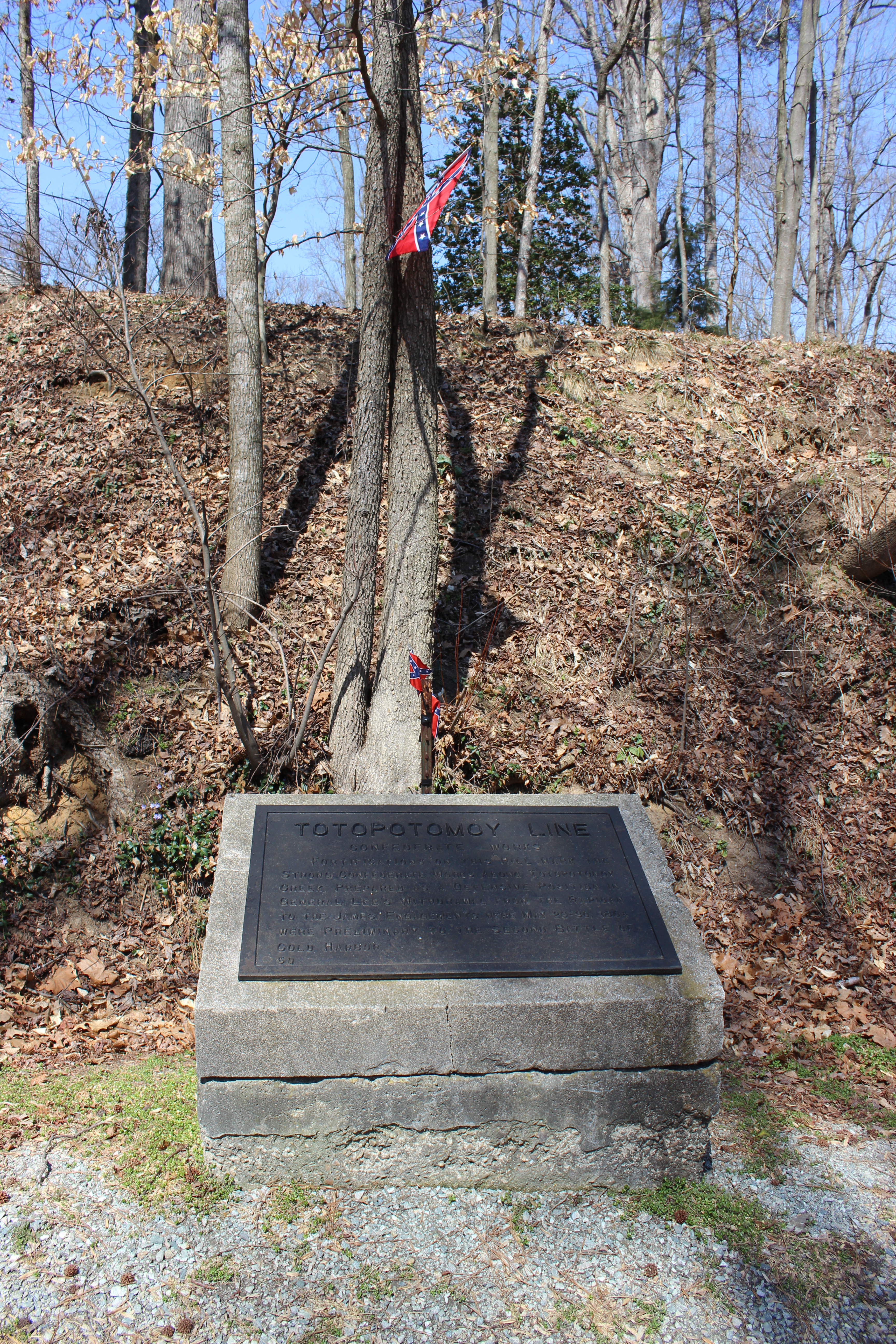
Erected by the Battlefield Markers Association shortly after the turn of the 20th century, the goal was to erect markers that “consist of a cast iron inscription tablet set at an angle atop a large concrete capstone resting on a granite base.” The goal of the organization was to “identify points of interest on various battlefields of Virginia and to place thereon suitable markers.” Like the one featured below:

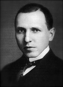
The prolific Southern writer Douglas Southall Freeman, wrote the inscriptions for these monuments, thus these battlefield reminders became known as “Freeman Markers.” Freeman also toured some of the sites associated with the war around Richmond and along with the help of J. Ambler Johnston persuaded the Richmond Rotary Club to adopt a plan to mark these Civil War sites.
Freeman and Johnston became two of the founders of the previously-mentioned Battlefield Markers Association. Besides writing the text Freeman was instrumental in helping to raise the $10,000 needed at the time and with local concrete and works companies, the group established the 59 markers.

Today, 58 markers remain–one was destroyed when a base was built during the Second World War–and a few have been moved due to the increase in population and urban sprawl.
The 58 remaining markers are located in the various locations–four within the City of Richmond and Chesterfield County, 21 in Hanover County, and 29 in Henrico County.
The success of the local Richmond group inspired others in the state to copy the “Freeman Markers” idea. In 1925, the Battlefield Markers Association (Western Division) had completed and placed 25 markers across the state of Virginia. These markers commemorated Civil War history from Bull Run through the Shenandoah Valley to the last days of the war in the Old Dominion at Appomattox. They are slightly different; sitting on top of white granite bases and larger bronze tablets depicting the action.
However, they are still credited with being “Freeman Markers.”

In the 1920s when the last of the “Freeman Markers” was installed, the goal was to make the readable from “an automobile.” Today, some of the markers sit on busy intersections and along major secondary roads. Please be careful when stopping to view them.
Thus, if you are planning a visit to any of the sesquicentennial events around Richmond in the coming days, you will see these markers on your journeys. Enjoy and remember; the group behind these markers was one of the first to call for commemoration, learning, and by offshoot, preservation of these battlefields you visit today!
*The following website has a great history of and was used for some of the information about the “Freeman Makers.” http://freemanmarkers.home.comcast.net/~freemanmarkers/index.html
At the Historical Marker Database, we keep a list of the Freeman Markers:
http://www.hmdb.org//results.asp?SeriesID=73
On the map, here’s were they are (sorry for the long link): http://www.hmdb.org//map.asp?markers=0,15506,14275,14274,14277,14278,14259,14261,14231,14232,14234,14235,14236,14220,14237,14238,14198,14205,14219,14200,14201,14199,14204,14262,14263,14240,14270,14227,14222,14215,14216,14229,14225,14214,14224,15656,14211,14218,14252,14243,14244,16007,16008,14257,15929,14513,14245,14246,14247,14248,14254,14251,14221,14209,15108,14230,14253,14255,14256
Great stuff, Craig. Thanks!