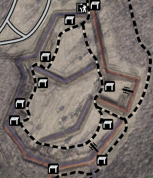
Fort Harrison Trail Map
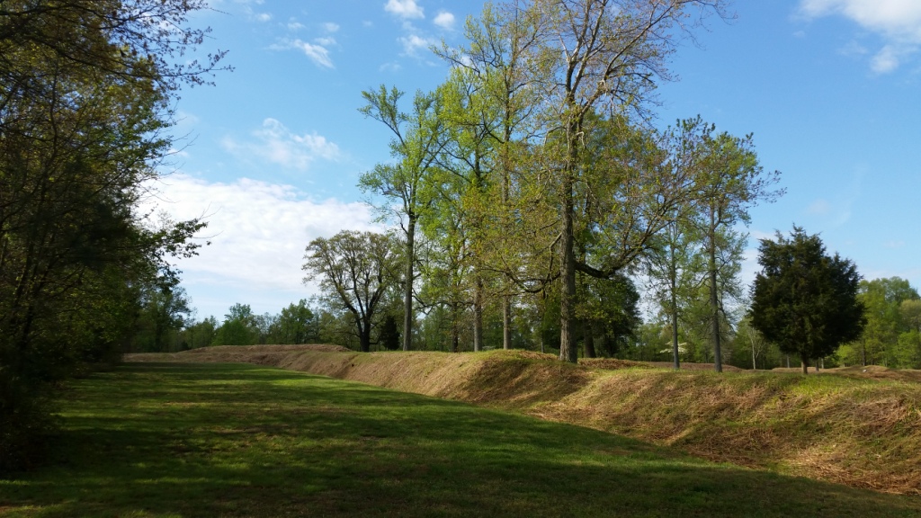
 One hundred and fifty four years ago, Union soldiers clambered over the earthen walls of Richmond’s outer defense line. The Army of the James succeeding in capturing Fort Harrison but suffered heavy losses in the assault, particularly among its leadership. They continued throughout the day in attempting crack the defenses further to the north but could not significantly expand the breach. “The morning of September 29, 1864 was probably the Federals’ best chance to take Richmond,” believes ECW historian Doug Crenshaw. The war in Virginia would last another six months.
The attack was one component of the Fifth Offensive launched by Ulysses S. Grant against Richmond and Petersburg. At the same time, United States Colored Troops overran New Market Heights and Army of the Potomac infantry extended their push around Petersburg to Peebles Farm. Though the Army of the James was stymied in their attempt to capture the Confederate capital, they blunted a counterattack the following day and remained in place along the hard-earned position, posing a menacing threat to Richmond. They refaced the sections of the defensive line they had captured and changed Harrison’s name to Fort Burnham in honor of Brigadier General Hiram Burnham who was killed in the initial assault. Following the Petersburg Breakthrough on April 2, 1865, Fort Harrison’s garrison triumphantly marched into the evacuated Richmond.
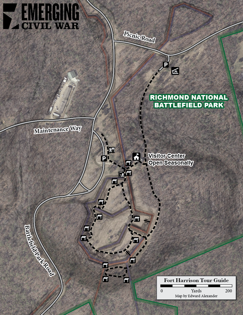
Richmond National Battlefield Park preserves Fort Harrison as part of a narrow 6.5 mile corridor of Union and Confederate earthworks stretching south from Battery Alexander on New Market Road (modern Virginia highway 5) to Fort Brady overlooking the James River. A log cabin just north of Fort Harrison served as the original headquarters for the entire park. It is only open seasonally, dependent on staffing, but was my favorite place to work in the park. Visitors are nevertheless encouraged to tour the site even if the building is closed. An interpretive walking trail leads through the fort and its wayside exhibits do a fantastic job of placing visitors in “you are here” locations of wartime photographs. The park road from Route 5 to Fort Brady is also the best route for biking among the Richmond National Battlefield Park sites and connects with the Virginia Capital Trail.
Fort Harrison’s physical address is 8621 Battlefield Park Road, Richmond, VA 23231. See the National Park Service website for updates on the visitor center seasonal hours and additional information about the fort. The grounds are open sunrise to sunset daily.