Hiking Jackson’s Flank March at Chancellorsville
The History Hikers (I made that name up) were at it again last weekend. We also go by the Roadkill Mess (formerly the Roadkill Five). Having hiked AP Hill’s march to Antietam previously, we wanted to do another big history hike. I had never done Jackson’s flank march at Chancellorsville, so suggested that. We agreed it must be done.
It is one of the most iconic events of the whole war: General T.J. Jackson took three divisions, about 28,000 men, on a long march in front of and around the federal army. His troops struck the exposed and unprepared Eleventh Corps, and drove it back two miles. Chancellorsville was perhaps Lee’s greatest victory, won with audacity and daring.
This hike would be about half on National Park roads: the actual route with little modern traffic. But about half would be along the busy Brock Road and Route 3. We agreed that a Sunday morning would be our best chance to walk with (hopefully) less traffic. Our group met Saturday night for drinks, comradery, and maps. We were excited to hike one of the most famous marches and attacks of the entire war.
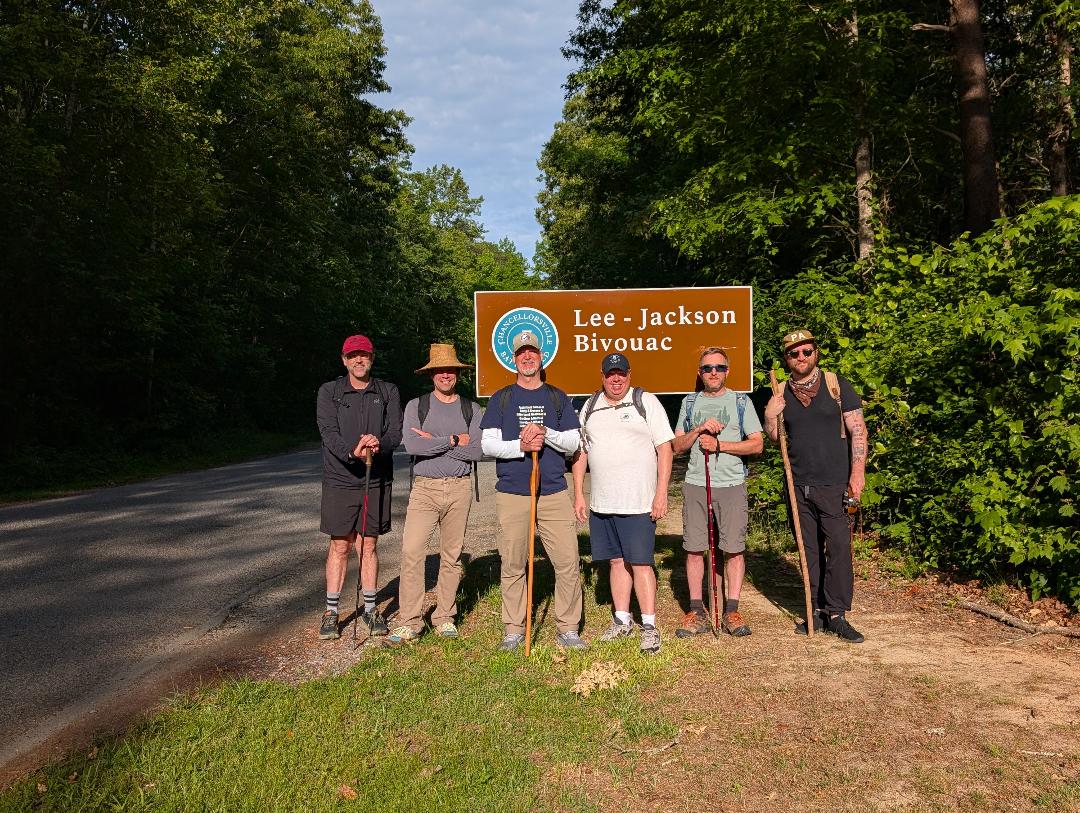
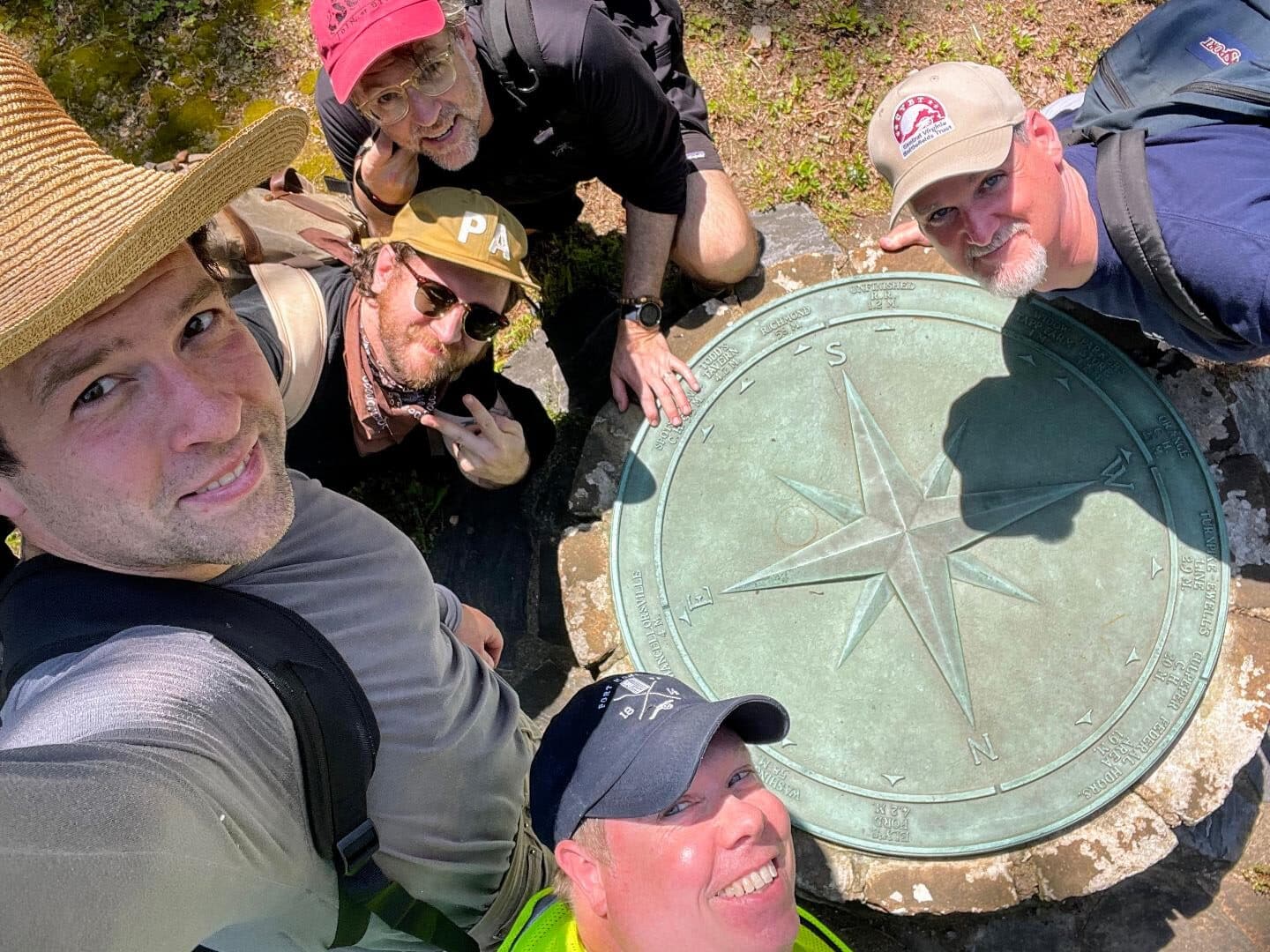
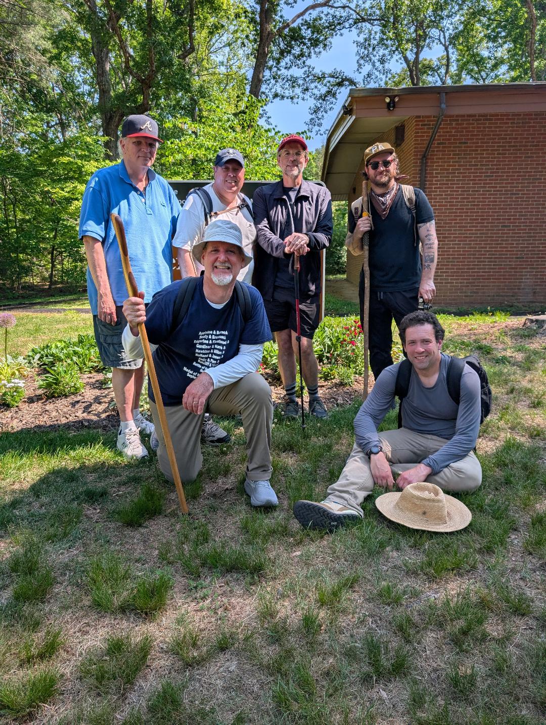
Sunday morning we met at the Lee-Jackson Bivouac, the site where the two generals had planned the attack, and the point from which Jackson’s Corps left on May 2, 1863. The lineup for the Roadkill Mess today was me, Richard Lewis, Drew Gruber, Rich Condon, Pete Maugle, Tim Talbott, and Jim Broomall.
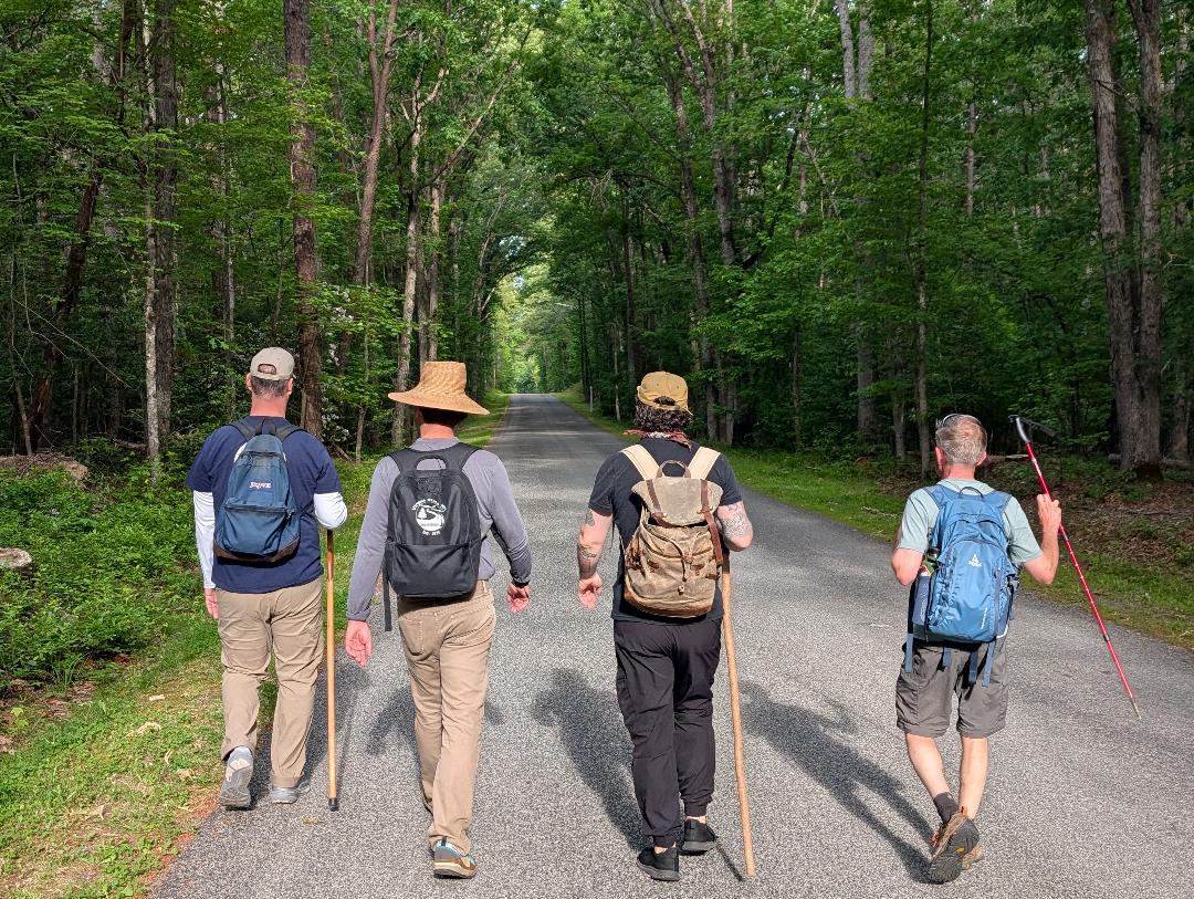
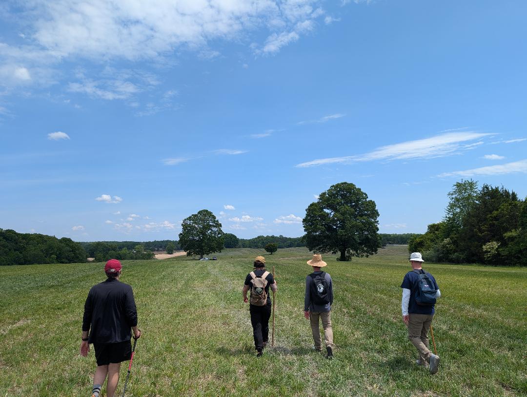
The first five miles were on a paved and gravel park tour road, called Jackson Trail East. Starting at 8 am there was virtually no traffic. We had it to ourselves, and could contemplate the big risk the Confederates took as we walked. This was the first big march for the Confederates after their winter camp. They could march four abreast, and the column strung out for miles. Near Catherine’s Furnace, an ironworks, Union troops probed and captured nearly the entire 23rd Georgia which had deployed to protect the column. But General Hooker did not get word of the movement for hours, and it he assumed the Confederates were retreating, not advancing to attack his flank.
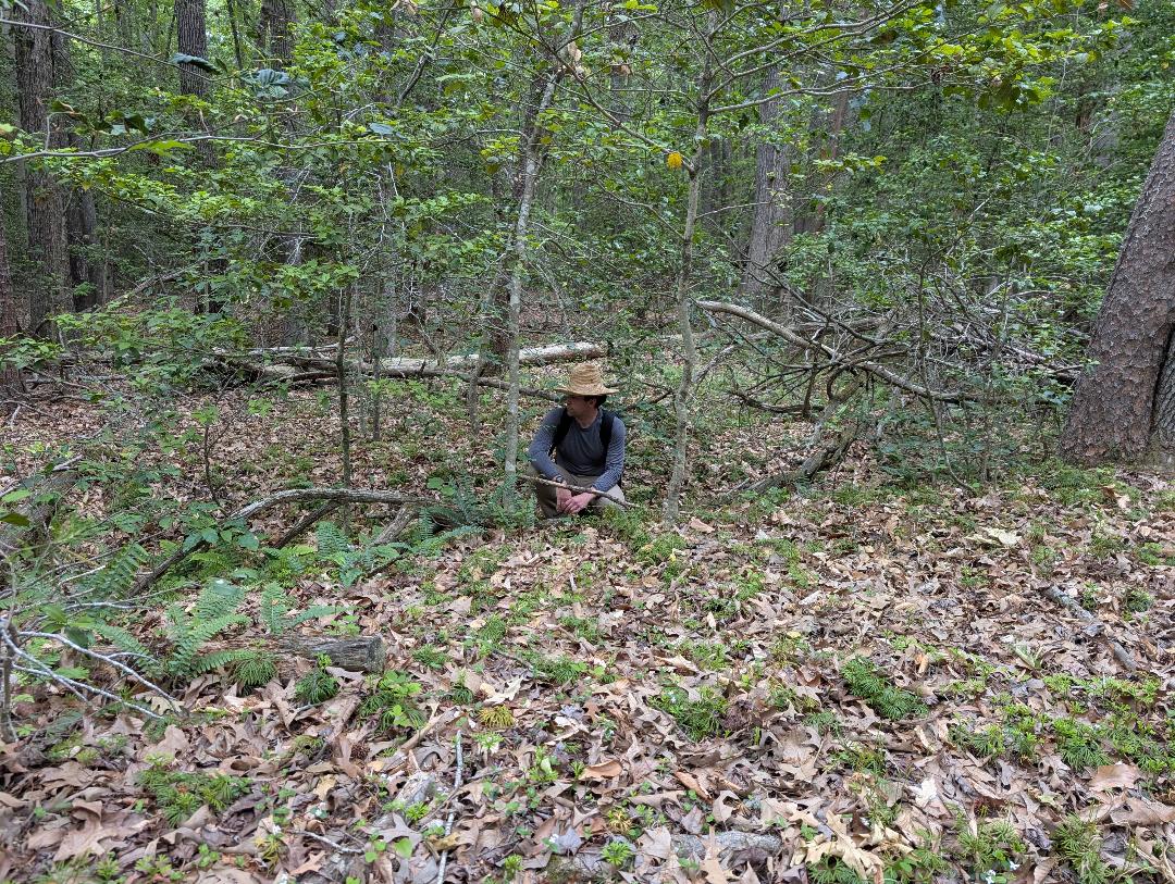
The conversation was vigorous on those first miles as old friends caught up and new ones were made. Drew scoured the side of the road for berries, there were no pawpaws here. At times the modern tour road deviated from the original route, and Richard and Pete showed us pieces of the original route when we crossed it.
We crossed the Brock Road and marched along Jackson Trail West, entirely gravel, and passing through woods and by farms, it gave a good feel for the original conditions. By 11:30 we reached the Brock Road again, and we had to now walk along it, as Jackson’s column did. By now traffic was picking up and we had to go single file along the busy road. Modern homes stood on the side. Richard Lewis’s nickname of the ‘Roadkill Five’ might be fulfilled. Before stepping off we had a surprise visit from our friend Chris Mackowski with cold Gatorades, Cliff bars, and whiskey. Morale improved.
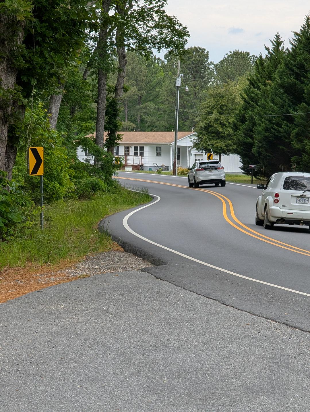
The three-mile section of the Brock Road was the hardest of the march. At one point I looked over to my friends and said, “this is dumb, isn’t it?” Due to the narrow shoulder we went single file, and had to weave back and forth across the road at blind curves. Every time a car approached, we stepped into the ditch alongside, and there was always poison ivy there.
We paused for a break at the Orange Plank Road/Brock Road intersection, scene of heavy fighting two years later in May 1864 during the battle of the Wilderness. We also saw the marker noting that this spot is exactly half way between Richmond and Washington.
Here Jackson originally planned to turn east on the Orange Plank Road to hit the federal camp. Yet scouting ahead, he saw that this route would take them into the front of the Eleventh Corps. Thus he moved his column farther up the Brock Road to turn east. So did we.
At 12:30 we reached the intersection with the Orange Turnpike, Route 3. Here we paused at a gas station and convenience store. Real bathrooms! And cold drinks. Rich and Jim enjoyed a ‘road soda’ of Miller High Life. It was getting warm. An even busier road, we chose to walk along the north side of the westbound lane, going east, as the Confederates did. Again it was a narrow shoulder with a steep slope, forcing us to walk single file, with one foot on the pavement and the other on the grassy slope.
At times it was difficult to focus on the history, but we all knew we were in the path of that column that day. We paused at deployment site on a rise where Jackson’s divisions went from column into line of battle. They were on the verge of an amazing victory. So were we.
At 2 pm we reached the attack site where Jackson’s troops slammed into the Eleventh Corps. At 5 pm on May 2, 1863 the Confederates struck on this ground. We went forward to the site of the Union camps, now park property. Walking over a crest and seeing the site of the Eleventh Corps camps was exhilarating.
Pausing at the attack site, we enjoyed a short break and read the park historic markers. Yet we were not finished. It was another two miles to the Chancellorsville Visitor Center, where the Confederate attacks ended and where we were to rendezvous with our chase car, driven by Richard.
By now it was downright hot. The phone said 85. There was no shade along Route 3. We had to walk single file with cars whizzing by. We paused for a break at abandoned house, all squished into the shade on the dilapidated porch. Resting and watering up, we geared up for the final push. Jim found an old bike, Bert tried to ride it, and got about two feet with it.
Pushing on, we reached the Chancellorsville Visitor Center, completing the better part of 15 miles in seven hours. Returning to our vehicles we then adjourned to a local brewery to recap our day and enjoy the accomplishment. The Roadkill Mess will be at it again sometime, if you see us, please slow down as you go by.
This write up of your hike was awesome,
Thank you for sharing.
Been 52 years since I made the same hike.
Thank you for bringing back a great memory.
However, We had no vital resupply of whiskey at that time…lucky you
Thanks Mo, the spirits definitely helped!
Fascinating and thank you. I wonder if there are any first-person accounts from the ranks or the leadership of this historic event. I am compelled to remark that the troops made that same hike, albeit sans speeding traffic, and then stormed into a major shakeup of the Union Army….:))
Yes, there are numerous officer and soldier accounts of the march, and we had some with us that day. And yes, the march wasn’t the half of it, those guys went right into battle!
Will look for the participant accounts of the march – saw one recently, possibly on this page, from a member of an artillery company at Chancellorsville, Confederate I believe, a stunning depiction of the horror of death and destruction from the reality, not the prelude, of such an action. Any glory of war is left far behind when faced with these stories.
A great piece, Bert. A couple questions – The open field where your group is pictured – what was its state at the time of the attack? Was it open like this, or forested? Also, over the decades, has the entirety of the route and the point of the attack been searched for artifacts? Has a lot been collected? Only a little? Anything of significant fascination or importance been uncovered?
EP, thank you. The area where the Confederates struck the 11th Corps was wooded at the time. As for artifacts, I don’t know. It’s been National Park property for decades.
Thank you. I really enjoyed reading your account and lived vicariously through you, as this is something I have always wanted to do! Well done!
It appears that the recent accomplishments of the Roadkill Mess have toughened your feet and increased your endurance for further adventures. Stonewall Jackson’s activities certainly provide various itineraries for consideration. My initial thought after reviewing todays narrative would be to consider Jackson’s two day trek around Pope’s flank to the O&A supply base at Bristow in August 1862. Maybe a 164th anniversary try in late August perhaps?
Or if that’s a bit of a stretch, how about considering Jackson’s consecutive marches in the Valley in the Spring of 1862?
“Jackson’s Foot Cavalry”!
really sounds like fun! Wish I was there to hike with you.