Getting Un-lost in the Wilderness
As I have gotten older, I have become a much more tactile person when it comes to understanding history. I still greatly enjoy a good book, and sometimes that’s the only way that you can experience it, but it has become more important to me to walk a piece of ground, be able to read it with my own eyes, and feel it in the soles of my feet to understand it.
In the almost year that I have lived here in Fredericksburg, The Wilderness is the battlefield where I have spent the least amount of time and the one that I can’t seem to wrap my head around. The Wilderness has always been a bit of a challenge to me. The way that the battle plays can be seen as two completely different and separate battles.
I enjoy going out to the corner of Orange Plank and Brock Roads and contemplating the moment that history changed.

When Grant decided to head south towards Spotsylvania Court House, it was the moment that Lee and the Army of the Potomac found out just what kind of a general Grant was. I have also started going out to Widow Tapp Field, parking on the Orange Plank Road pull-off at the field and contemplating the action there.
The Chewning Farm was the last piece to fall into place for me and complete the puzzle. It was the location of the gap between the two fronts, and if the Union Army could have taken it, things might have ended up being quite different.
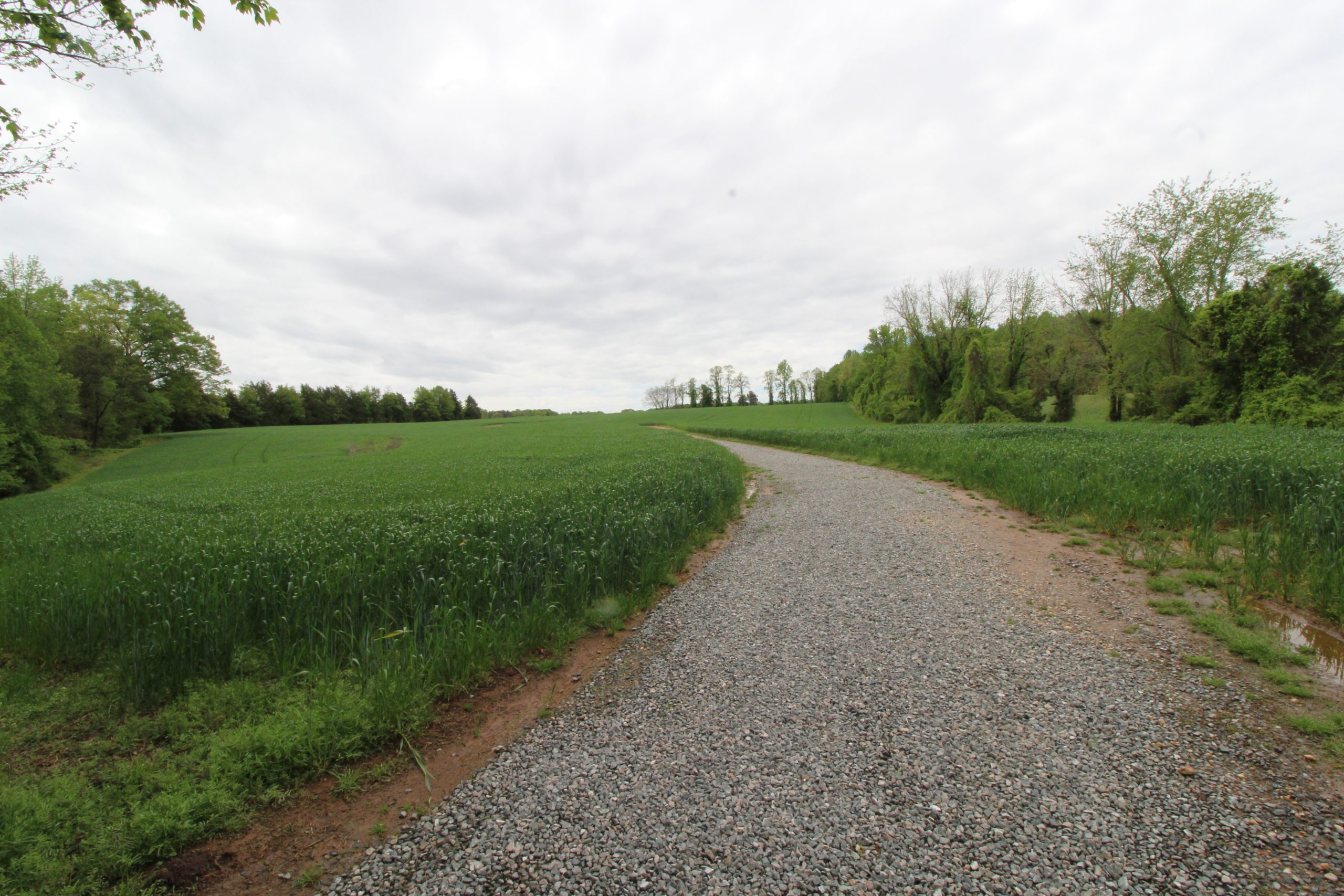
It is a great piece of ground high ground as you come up from the modern park road. Envisioning the Parker’s Store Road coming up through there. Being able to walk it, feel it in the soles of my feet, made it all come together for me.
The layout of the modern park differs from the actual battle, and no matter how many times Chris Mackowski tells me that, my lying eyes pay him no mind. The Civilian Conservation Corps built Ewell-Hill Road in the 1930’s, creating a route that did not exist during the battle, and of course the interpretation of the park reflects how you are able to transit through it.
Parker’s Store Road and the route that Grant took from his headquarters to Brock Road as he moved for Spotsylvania Court House do not exist today, and it takes keeping both of those things in the front of my mind while considering the battle made all the difference in improving my understanding of it.
I am thankful that I live in a place where I can go an experience the history, and a great national park like Fred-Spot, whenever I want. Even in this age of social distancing, I can find little-visited places where I can enjoy and explore it safely, and I take advantage of the opportunity every chance that I get.
This is also a time to catch up on my reading. When I first got here last June, I started asking everyone that I met for recommendations on books about the four battles that took place here. I had lots of great suggestions, but everyone who I spoke to suggested Gordon Rhea’s Battle of the Wilderness May 5-6, 1864. Matter of fact, his entire Overland Campaign series came highly recommended to me. I also had a person whose opinion I highly respect also suggest Chris Mackowski’s Hell Itself to me. If you have not delved into the Wilderness yet, it is a good place to start, then pick up Rhea’s Wilderness book when you are ready to go deeper.
Great post! I love Rhea’s books, as well as Chris M’s books.
—-Chris Barry
I just finished Gordon Rhea’s Wilderness book myself. WOW! It was so detailed and analytical without being incomprehensible. I definitely feel I gained a better understanding of the battle and everything revolving around it. I’ve got his Spotsy book on my list of “next to read” in studying the Overland Campaign.
While you’re out there, I was told by a historian that worked at Ellwood that there’s a dirt road or path of some sort that connects the Wilderness Tavern to Ellwood and the former 5th Corps headquarters. We didn’t get to walk it when we were there and I’m kicking myself for not taking the time to explore it.
All 5 of Rhea’s books on the Overland Campaign and the beginning of the Petersburg battles are well worth reading.
–Chris Barry
I’ve been hiking the Wilderness battlefield quite a bit recently and the Gordon Rhea book definitely helps in understanding the battle and the topography. The Chewning Farm trail follows the Parker Store Road trace beyond the Chewning house site to pastureland bordering the Orange Plank Road. I didn’t realize at first that the end of the trail is actually a good bit east of the Widow Tapp Farm rather than north of it. I guess that is the effect of the way Hill-Ewell Drive cuts through the battlefield.
Hello – I like your method of “tactile” understanding of battlefield terrain and how the actions and events which occurred on these fields might be deduced. I have visited the Wilderness Battlefield twice, trying to find the most likely spot where one of my ancestors is probably buried on the field.
My ancestor was the color bearer of the 50th Virginia Infantry and was killed when the regiment was overrun during the opening actions of the battle on May 5, 1864. The Confederate reserves counter attacked and forced the Union brigades to retreat back across Saunders field – that night the Confederates again occupied the positions they had held at the beginning of the day. Statements found in various personal diaries, letters home, and memoirs of the surviving Southern soldiers indicate that they buried many of their recovered comrades’ bodies on the field that night.
The commander of the brigade to which the 50th Virginia was attached, BG John M. Jones, was killed in the same action. Eyewitnesses say that Jones was on the Orange CH turnpike, conferring with other officers when he became aware that his troops were being attacked. They say that he mounted his horse and rode in the direction of the sounds of the fight and was attempting to rally his troops when he was shot from the saddle and killed,
I suspect that Jones and my ancestor, the color bearer, may have died very near each other. On at least two maps produced immediately after the War, there is a trail or farm road that runs south of the turnpike and behind the line of the Confederate entrenchments from the turnpike to Wilderness Run at the Higgerson farm. In order for Jones to have ridden his horse to the area of the fighting, he would have had to ridden on a trail or lane through the heavy underbrush – I suspect that this farm road may have been where he was when he was killed.
see https://www.loc.gov/resource/g3884w.cw0665000/?r=0.18,0.251,0.354,0.164,0
The location of this road is now on private property (posted) and so, is not accessible for exploration – do you know of any archeological studies or property surveys that might describe this road or its use during the battle?
Thanx.