Forts: Fort Henry Today

 U.S 79 runs east from the Tennessee River to Dover, Tennessee, and marks the southern border of the Land Between the Lakes National Recreation Area. The lakes are actually stretches of the Tennessee and Cumberland Rivers, dammed up by the Tennessee Valley Authority in the 1930s as part of flood control efforts. One of the casualties of those flood control efforts was Fort Henry, site of an important Union victory on February 6, 1862.
As it happened, Fort Henry was a victim of flooding at the time of the battle, too.
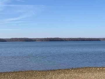
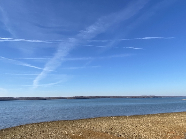
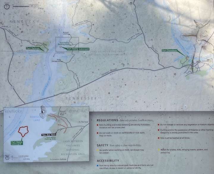 This is the site of Fort Henry today, even more water-logged than it was in 1862. To reach the site, one can drive from U.S. 79 north along Fort Henry Road. A few miles on the left, a dirt road leads down to the Fort Henry parking area. It passes through the remains of the Confederate outer defenses, still visible in the woods on either side.
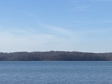
From the parking area, a walking path leads down to the modern riverbank. On the far side, one can see Kentucky and the former site of Fort Heiman, built in conjunction with Fort Henry to help guard the Tennessee River. One hundred and sixty acres around the fort are now preserved and managed as part of Fort Donelson National Battlefield, although the site is still in development and not yet open to the public.
Somewhere between the east and west banks, Fort Henry hunkers beneath the waves.
Thanks for the photos and narrative!
Is there any idea concerning when and how the NPS will open the aforementioned site to the public? Visitor Contact Center? Kiosk? Wayside? etc.