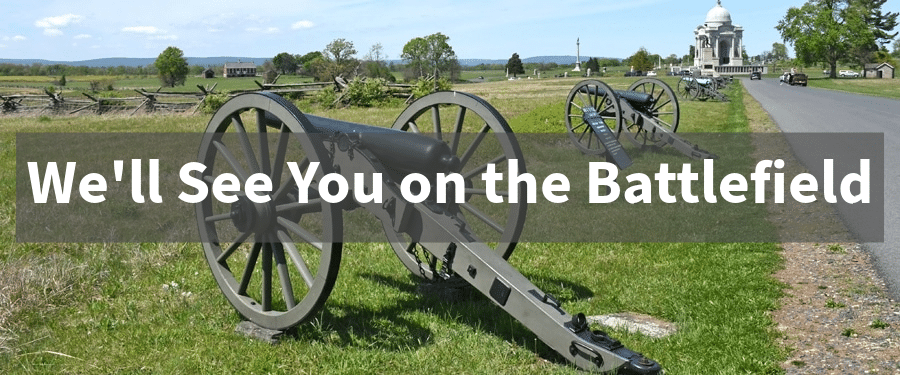
We’ll See You on the Battlefield: Follow the Bugle
While you’re out and about on your Civil War adventures this summer, let me encourage you to take some detours along the way. We’re all familiar with the iconic red bugle on the Civil War Trail signs. I invite you to listen to those bugles as they sound out the call to halt.
We’re so often focused on getting to our battlefield destination that it’s easy to zip on by those Trails signs, but each one promise is a cool little story to tell. I love Civil War Trail stops, but I’m often as guilty as everyone else. I sometimes pass a sign and think, “I really do need to stop there sometime,” but I’m focused on getting from A to point B. My indeterminant plans to “stop sometime in the future” often don’t firm up into specific action.

This spring, however, I have made a special point at stopping to explore more Civil War Trails sites. This has required a little extra cushion of time in my planning, but far less than you might imagine. Give yourself five or ten minutes, which should be plenty. You’ll be rewarded with a shelf-contained site-specific story, often with a fascinating human interest element, that will round out the bigger stories you’re already familiar with.
Trails signs are sometimes in the middle of nowhere, which gives you an excuse to get off the beaten path; sometimes, they’re in the front yard of a brewery or an antique shop, which offers an additional pleasant diversion. Take advantage of the amenities you discover along the way.
Civil War Trails has a website that lets you download free PDFs of their outstanding Trails maps, which show the locations of more than 1,500 markers across six states. Individual Trail maps encompass specific geographic regions, which can let you focus on stories like “Lee’s Retreat” or the Antietam Campaign. State-specific brochures highlight stories in Maryland, North Carolina, Tennessee, Virginia, West Virginia. Their website also has several digital-exclusive maps as well as a nifty interactive map you can access from your phone that shows sites near you using geo-tracking technology.
If you wanted to, you could even string together a full-day Civil War adventure following a Trail maps to an assortment of sites. I’ve done this as a way to explore Jackson’s Valley campaign, for instance.
But at the very least, while you’re out on your next battlefield trip, make a point to look for those red bugles. Take a couple minutes to stop. Surprise yourself with some new stories. It will make your overall trip a richer experience.
I love the Civil War Trails program and try to stop at every one I see, much to my wife’s annoyance
A great plug for a great program!
“Lee’s Retreat” provided 36 hours of amazing sightseeing/study in some beautiful parts of Virginia. I was amazed by Farmville, the High Bridge, and Saylor’s Creek. A herd of cattle blocked me on the road out of Saylor’s Creek.