Scenes from Rocky Face Ridge
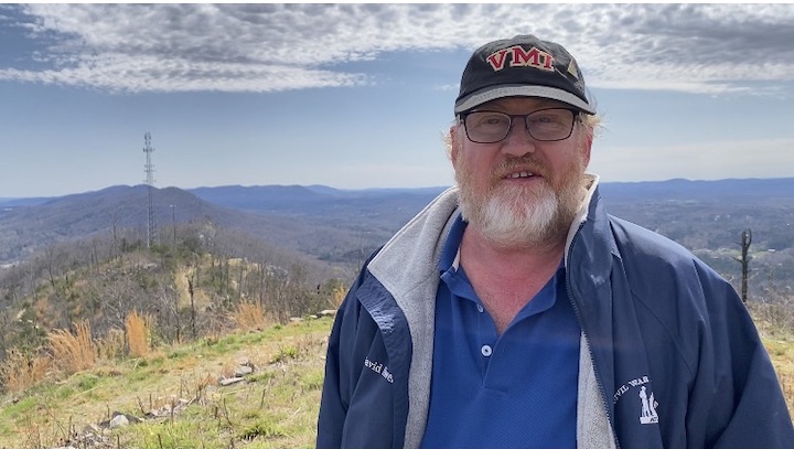
 I had the remarkable opportunity today to visit the crest of Rocky Face Ridge just outside Dalton, Georgia. My visit came as part of a video swing by the American Battlefield Trust with Garry Adelman and Kris White, and our trip up the mountain was made possible by Whitfield County, Georgia; County Administrator Bob Sivick; and historians Will Greene and Bob Jenkins—a shout out to all of them for the extraordinary treat.
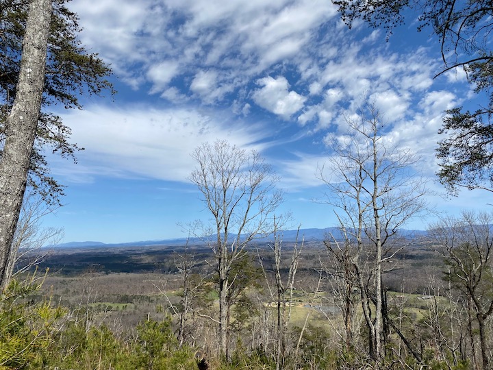
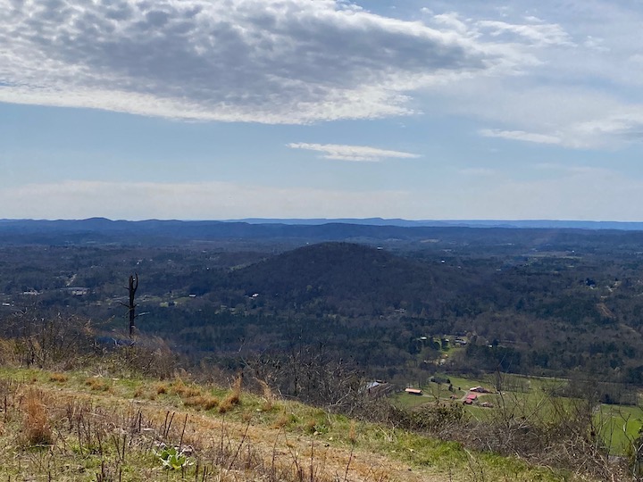
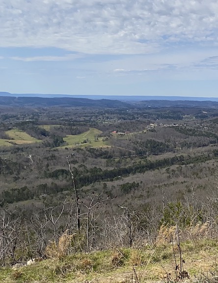
We’ll have some great videos from the top of Rocky Face Ridge coming up on the American Battlefield Trust’s Facebook and YouTube pages, but I wanted to take a moment to share just a couple photos with you.

Rocky Face Ridge represented Confederate Gen. Joseph E. Johnston’s main line of defense between his Army of Tennessee and Federal forces in Chattanooga under Ulysses S. Grant. By the time Federals made their move against Rocky Face Ridge, Grant had been promoted to lieutenant general and Maj. Gen. William T. Sherman had taken over as commander of the Western District, commanding a three-army group against Johnston’s 54,000 men in May 1863. (Read more here, courtesy of the Trust.)
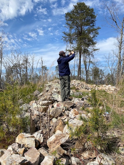
At places, the crest of the ridge was only four-persons wide, with sheer drop-offs on either side. Confederates stacked rocks to create breast works and, where the ground allowed, dug earthen works. The line runs for miles, from the northern tip of the ridge southward to Mill Creek Gaps and Dug Gap. Federals did succeed in making a small lodgment on the northern edge of the crest, but Sherman ultimately forced Johnston out of the position by maneuvering around the Confederate left flank through Snake Creek Gap twelve miles to the south.


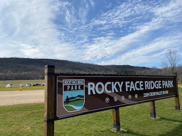
For more on the park, visit here (site in development).
For info on Tunnel Hill, visit here.
Great photos! Living in Marietta, GA; I’ve really gotten immersed in the Atlanta campaign since retirement 2 years ago. Really looking forward to the “completed project”.